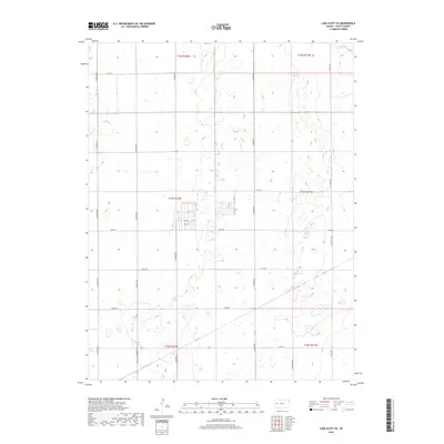
2018 Map of Lake Scott SE
USGS Topo · Published 2018About this map
Scott County, Kansas, reveals a landscape of high plains drainage and organized section lines in this late 2010s survey. The terrain is characterized by the ephemeral flow of W Salt Cr in the northeast corner and a dense network of seasonal basins scattered across the range. The area is defined by its Public Land Survey System structure, with township boundaries like t17s r32w and t17s r31w dividing the land into clear square-mile blocks. The transportation network follows this rigid geometry, with north-south routes such as N Navaho Rd and N Pawnee Rd intersecting east-west corridors like E Rd 200 and E Rd 180. This spatial organization reflects the enduring agricultural and ranching layout of the Western Kansas plains, where modern roads maintain the paths of early twentieth-century section line improvements.
Find a feature on this map
19 named features on this map. Tap any name to fly to it.
Don’t see what you’re looking for? This feature index may not catch every label — zoom into the map to look around manually.
Map Details
Editions of this 2018 Lake Scott SE Map
This is the sole edition of this map. No revisions or reprints were ever made.
Other maps of this area

1939 · Lake Mc Bride
USGS Topo · 1:24,000

1939 · Sandon
USGS Topo · 1:62,500

1940 · Scott City
USGS Topo · 1:62,500

1942 · Sandon
USGS Topo · 1:62,500

1942 · Lake Mc Bride
USGS Topo · 1:31,680

1951 · Scott City
USGS Topo · 1:62,500

1955 · Scott City
USGS Topo · 1:250,000

1958 · Scott City
USGS Topo · 1:250,000

1974 · Healy NW
USGS Topo · 1:24,000

1974 · Grigston
USGS Topo · 1:24,000