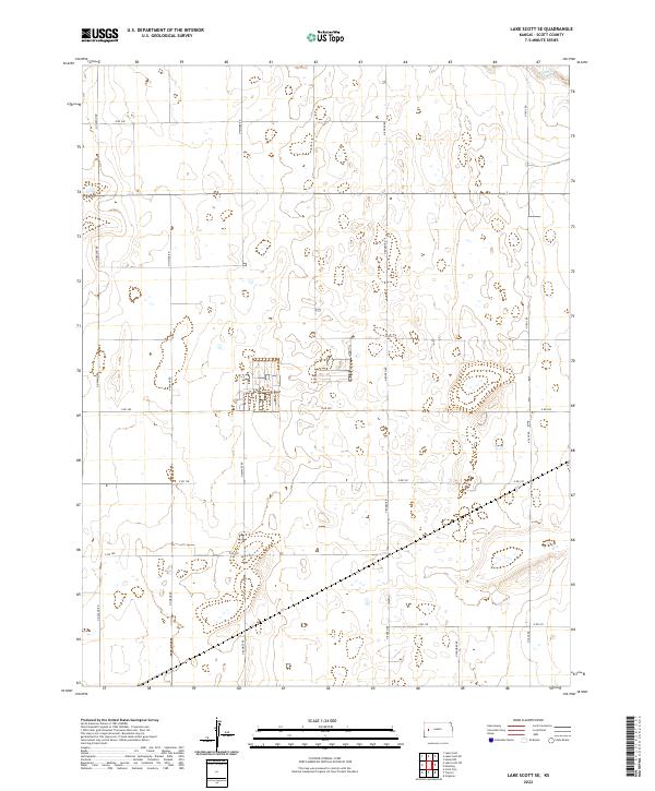
2022 Map of Lake Scott SE
USGS Topo · Published 2022About this map
High plains agriculture and isolated ranching infrastructure characterize this section of western Kansas. The landscape is defined by an orderly grid of section-line roads, including N Navaho Rd, N Omaha Rd, and N Rodeo Rd, which facilitate transport across the open terrain. The northern edge of the map features the intermittent drainage of W Salt Cr, a localized waterway typical of the region's semi-arid environment.
Find a feature on this map
19 named features on this map. Tap any name to fly to it.
Don’t see what you’re looking for? This feature index may not catch every label — zoom into the map to look around manually.
Map Details
Editions of this 2022 Lake Scott SE Map
This is the sole edition of this map. No revisions or reprints were ever made.
Other maps of this area

1939 · Lake Mc Bride
USGS Topo · 1:24,000

1939 · Sandon
USGS Topo · 1:62,500

1940 · Scott City
USGS Topo · 1:62,500

1942 · Sandon
USGS Topo · 1:62,500

1942 · Lake Mc Bride
USGS Topo · 1:31,680

1951 · Scott City
USGS Topo · 1:62,500

1955 · Scott City
USGS Topo · 1:250,000

1958 · Scott City
USGS Topo · 1:250,000

1974 · Healy NW
USGS Topo · 1:24,000

1974 · Grigston
USGS Topo · 1:24,000