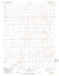
1978 Map of Lake Scott SE
USGS Topo · Published 1978About this map
The Missouri Pacific railroad cuts a diagonal path across this High Plains landscape, serving as a primary corridor for the region's agricultural and industrial output in the late 1970s. The terrain is defined by the townships of Michigan, Keystone, and Scott, where a network of section lines and fence rows organize the open country. This survey illustrates the intense resource management of the era, visible in the concentrated Feedlot operations and the proliferation of energy infrastructure, including Pipelines and numerous Oil Wells. The map's detailed topography, marked by five-foot contour intervals, reveals the subtle depressions and drainage patterns characteristic of the Kansas plains, providing a clear record of the rural land-use patterns that shaped the local economy during this period.
Find a feature on this map
14 named features on this map. Tap any name to fly to it.
Don’t see what you’re looking for? This feature index may not catch every label — zoom into the map to look around manually.
Map Details
Editions of this 1978 Lake Scott SE Map
This is the sole edition of this map. No revisions or reprints were ever made.
Other maps of this area

1939 · Lake Mc Bride
USGS Topo · 1:24,000

1939 · Sandon
USGS Topo · 1:62,500

1940 · Scott City
USGS Topo · 1:62,500

1942 · Sandon
USGS Topo · 1:62,500

1942 · Lake Mc Bride
USGS Topo · 1:31,680

1951 · Scott City
USGS Topo · 1:62,500

1955 · Scott City
USGS Topo · 1:250,000

1958 · Scott City
USGS Topo · 1:250,000

1974 · Healy NW
USGS Topo · 1:24,000

1974 · Grigston
USGS Topo · 1:24,000