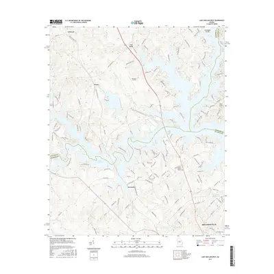
2017 Map of Lake Sinclair West
USGS Topo · Published 2017About this map
Lake Sinclair defines the landscape of this region, its winding fingers reaching deep into the hills of Baldwin, Putnam, and Hancock counties. The shoreline is densely populated with landings and small communities such as Deerfield Landing and Flat Rock, reflecting the area's development as a center for water-based recreation and residential growth. In the northern reaches, the terrain is shaped by the valley of Beaverdam Creek and smaller tributaries like Rooty Cr and Cold Br.
Find a feature on this map
133 named features on this map. Tap any name to fly to it.
Don’t see what you’re looking for? This feature index may not catch every label — zoom into the map to look around manually.
Map Details
Editions of this 2017 Lake Sinclair West Map
This is the sole edition of this map. No revisions or reprints were ever made.
Other maps of this area

1912 · Milledgeville
USGS Topo · 1:62,500

1953 · Athens
USGS Topo · 1:250,000

1958 · Athens
USGS Topo · 1:250,000

1959 · Athens
USGS Topo · 1:250,000

1963 · Athens
USGS Topo · 1:250,000

1972 · Meda
USGS Topo · 1:24,000

1972 · Eatonton
USGS Topo · 1:24,000
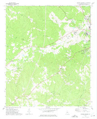
1972 · Browns Crossing
USGS Topo · 1:24,000
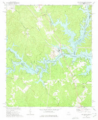
1972 · Lake Sinclair West
USGS Topo · 1:24,000
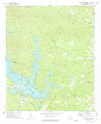
1972 · Lake Sinclair East
USGS Topo · 1:24,000