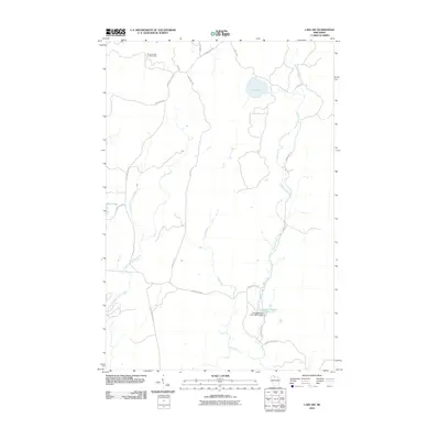
2010 Map of Lake Six
USGS Topo · Published 2010About this map
Pleasant Lake Lookout Tower stands as a prominent landmark in the northwestern corner of this 2010 survey of Iron County. The landscape is defined by the winding course of the East Fork Chippewa River and its various tributaries, including Hurd Creek and the long, meandering Swamp Creek which flows through the eastern half of the quadrangle. This area of Wisconsin is heavily focused on resource management and outdoor recreation, evidenced by the extensive network of service roads such as Chippewa Fire Ln and Game Mgt Rd. In the south, the Forest Wander Lake 2WP41 Dam controls the waters of Forest Wander Lake 17, while other named bodies of water like Lake Six and Duck Lake are accessible via routes like Lake 6 Rd and S Island Lake Rd.
Find a feature on this map
19 named features on this map. Tap any name to fly to it.
Don’t see what you’re looking for? This feature index may not catch every label — zoom into the map to look around manually.
Map Details
Editions of this 2010 Lake Six Map
This is the sole edition of this map. No revisions or reprints were ever made.
Other maps of this area

1940 · Mercer
USGS Topo · 1:48,000

1940 · Butternut
USGS Topo · 1:48,000

1940 · Upson
USGS Topo · 1:48,000

1943 · Upson
USGS Topo · 1:48,000

1943 · Ironwood
USGS Topo · 1:48,000

1945 · Mercer
USGS Topo · 1:48,000

1947 · Butternut
USGS Topo · 1:48,000

1947 · Mercer
USGS Topo · 1:48,000

1950 · Butternut
USGS Topo · 1:48,000

1953 · Ashland
USGS Topo · 1:250,000