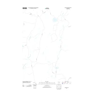
2013 Map of Lake Six
USGS Topo · Published 2013About this map
Pleasant Lake Lookout Tower stands as a prominent landmark in this northern landscape, overlooking a network of water bodies and timber roads in Iron County. The geography is defined by the winding course of the East Fork Chippewa River and the significant drainage basin of Swamp Cr, which flows through the eastern portion of the quadrangle. Smaller tributaries like Hurd Cr weave through a terrain dotted with named lakes, including Pleasant Lake, Duck Lake, and Lake Six.
Find a feature on this map
21 named features on this map. Tap any name to fly to it.
Don’t see what you’re looking for? This feature index may not catch every label — zoom into the map to look around manually.
Map Details
Editions of this 2013 Lake Six Map
This is the sole edition of this map. No revisions or reprints were ever made.
Other maps of this area

1940 · Mercer
USGS Topo · 1:48,000

1940 · Butternut
USGS Topo · 1:48,000

1940 · Upson
USGS Topo · 1:48,000

1943 · Upson
USGS Topo · 1:48,000

1943 · Ironwood
USGS Topo · 1:48,000

1945 · Mercer
USGS Topo · 1:48,000

1947 · Butternut
USGS Topo · 1:48,000

1947 · Mercer
USGS Topo · 1:48,000

1950 · Butternut
USGS Topo · 1:48,000

1953 · Ashland
USGS Topo · 1:250,000