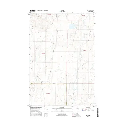
2015 Map of Lake Six
USGS Topo · Published 2015About this map
The E Fork Chippewa River meanders through this portion of the Northwoods, marking a landscape defined by its complex hydrology and timber-management infrastructure. Located along the boundary of Iron and Ashland counties, the area is characterized by significant water bodies such as Lake Six and the uniquely named Forest Wonder Lake 17. The terrain is interlaced with a network of specialized roads that speak to the region's forestry and conservation history, including the Chippewa Fire Ln and Game Management Rd. These routes, along with the Roddis Line Rd, provide evidence of historical land use and access patterns for logging and wildlife preservation. Smaller watercourses like Swamp Cr and Hurd Cr further define the drainage basins of this northern Wisconsin wilderness.
Find a feature on this map
29 named features on this map. Tap any name to fly to it.
Don’t see what you’re looking for? This feature index may not catch every label — zoom into the map to look around manually.
Map Details
Editions of this 2015 Lake Six Map
This is the sole edition of this map. No revisions or reprints were ever made.
Other maps of this area

1940 · Mercer
USGS Topo · 1:48,000

1940 · Butternut
USGS Topo · 1:48,000

1940 · Upson
USGS Topo · 1:48,000

1943 · Upson
USGS Topo · 1:48,000

1943 · Ironwood
USGS Topo · 1:48,000

1945 · Mercer
USGS Topo · 1:48,000

1947 · Butternut
USGS Topo · 1:48,000

1947 · Mercer
USGS Topo · 1:48,000

1950 · Butternut
USGS Topo · 1:48,000

1953 · Ashland
USGS Topo · 1:250,000