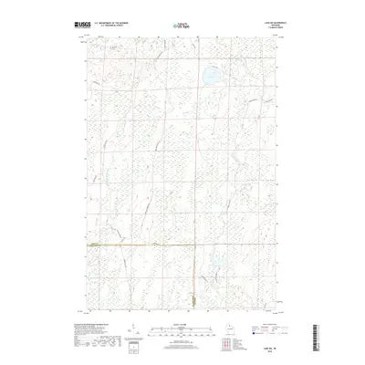
2018 Map of Lake Six
USGS Topo · Published 2018About this map
Glacial wetlands and deep forests define the boundary between Iron and Ashland counties in northern Wisconsin. The headwaters of the E Fork Chippewa River wind through the western portion of the quadrangle, while the namesake Lake Six and Forest Wonder Lake sit among vast wetland complexes. This 2018 survey reveals a landscape largely shaped by timber management and conservation, with corridors like the Game Management Rd and the Roddis Line providing access into the dense woods.
Find a feature on this map
24 named features on this map. Tap any name to fly to it.
Don’t see what you’re looking for? This feature index may not catch every label — zoom into the map to look around manually.
Map Details
Editions of this 2018 Lake Six Map
This is the sole edition of this map. No revisions or reprints were ever made.
Other maps of this area

1940 · Mercer
USGS Topo · 1:48,000

1940 · Butternut
USGS Topo · 1:48,000

1940 · Upson
USGS Topo · 1:48,000

1943 · Upson
USGS Topo · 1:48,000

1943 · Ironwood
USGS Topo · 1:48,000

1945 · Mercer
USGS Topo · 1:48,000

1947 · Butternut
USGS Topo · 1:48,000

1947 · Mercer
USGS Topo · 1:48,000

1950 · Butternut
USGS Topo · 1:48,000

1953 · Ashland
USGS Topo · 1:250,000