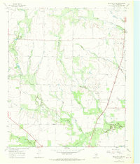
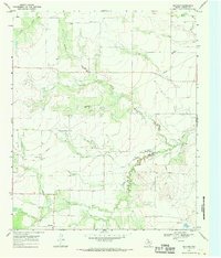
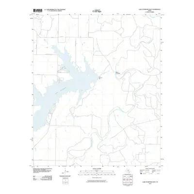
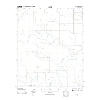
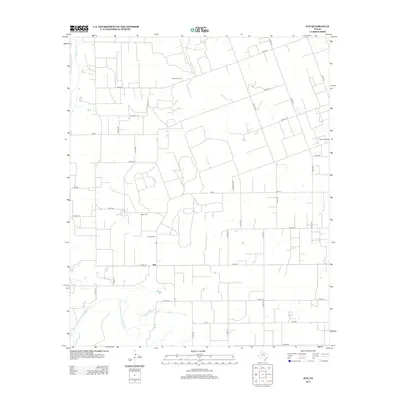
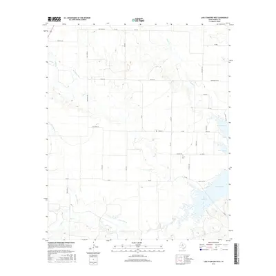
1966 Map of Lake Stamford West
USGS Topo · Published 1969About this map
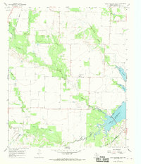
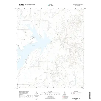
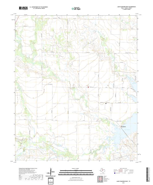
Lake Stamford dominates the southeastern corner of this Haskell County landscape, its irregular shoreline reaching into a network of dry-land creeks and drainage branches. The 1960s terrain is marked by a mix of agricultural utility and energy extraction, characterized by the Haskell Oil Field and scattered Oil Wells across the western plains. The small community of Paint Creek serves as a local hub near the center of the sheet, situated north of a dedicated Landing Strip. Local genealogy is anchored by the Howard Cem, while the landscape is defined by the winding paths of Buffalo Creek, Mule Creek, and Rice Springs Branch. The southern portion of the map captures the Stamford Corporate Bdy, showing the city's interface with the reservoir's spillway elevation.
Find a feature on this map
17 named features on this map. Tap any name to fly to it.
Don’t see what you’re looking for? This feature index may not catch every label — zoom into the map to look around manually.
Map Details
Editions of this 1966 Lake Stamford West Map
This is the sole edition of this map. No revisions or reprints were ever made.
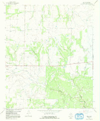
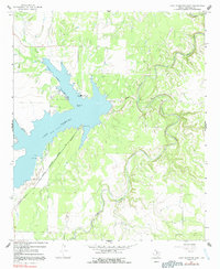
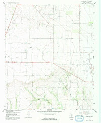
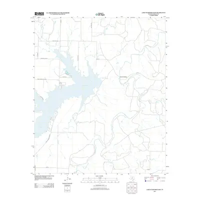
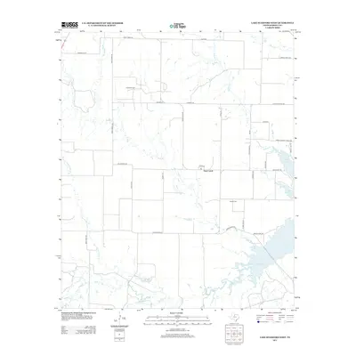
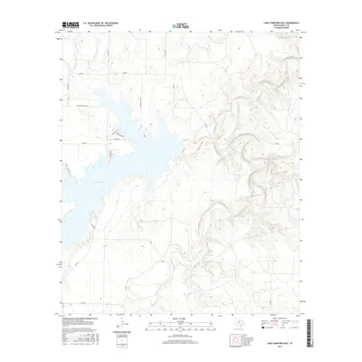
Historical Maps of Stamford Through Time
49 maps found
1925 Haskell 3-b
Haskell County, TX
1964 Sagerton
Haskell County, TX
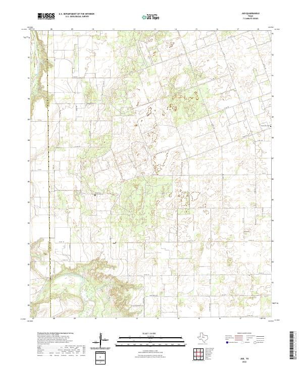
1965 Jud
Haskell County, TX
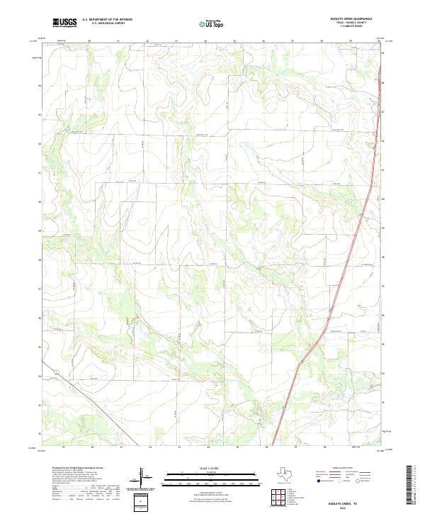
1966 Dudleys Creek
Haskell County, TX
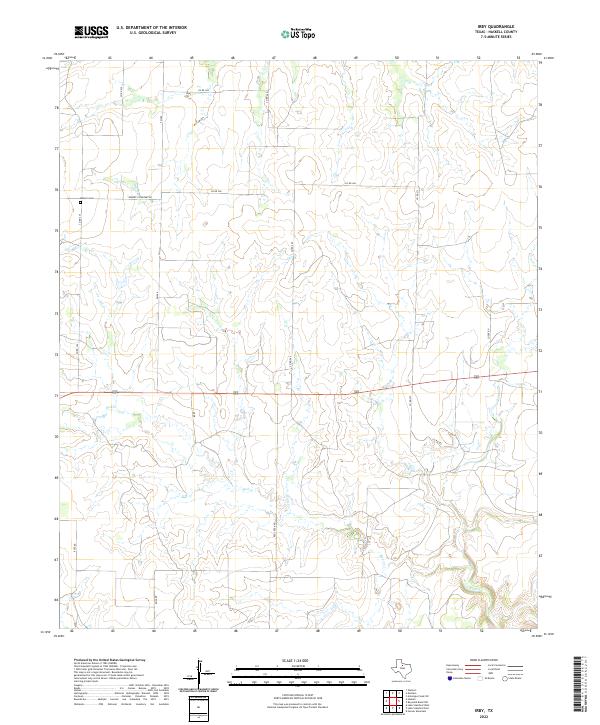
1966 Irby
Haskell County, TX
1966 Lake Stamford East
Haskell County, TX
1966 Lake Stamford West
Haskell County, TX
1966 Pinkerton
Haskell County, TX
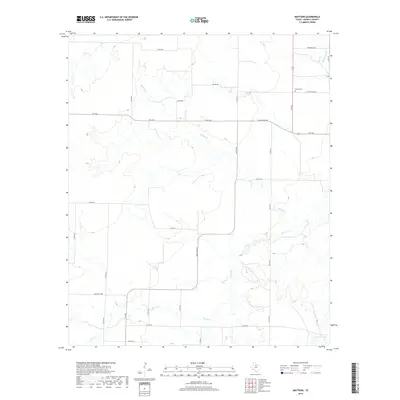
1967 Mattson
Haskell County, TX
2010 Dudleys Creek
Haskell County, TX
2010 Irby
Haskell County, TX
2010 Jud
Haskell County, TX
2010 Lake Stamford East
Haskell County, TX
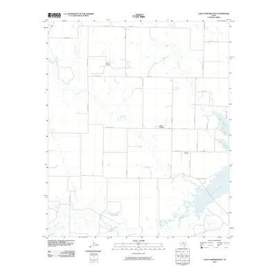
2010 Lake Stamford West
Haskell County, TX
2010 Mattson
Haskell County, TX

2010 Pinkerton
Haskell County, TX
2010 Sagerton
Haskell County, TX

2012 Dudleys Creek
Haskell County, TX
2012 Mattson
Haskell County, TX
2012 Pinkerton
Haskell County, TX
2012 Sagerton
Haskell County, TX
2013 Irby
Haskell County, TX
2013 Jud
Haskell County, TX
2013 Lake Stamford East
Haskell County, TX
2013 Lake Stamford West
Haskell County, TX

2016 Dudleys Creek
Haskell County, TX

2016 Irby
Haskell County, TX

2016 Jud
Haskell County, TX
2016 Lake Stamford East
Haskell County, TX
2016 Lake Stamford West
Haskell County, TX

2016 Mattson
Haskell County, TX
2016 Pinkerton
Haskell County, TX
2016 Sagerton
Haskell County, TX
2019 Dudleys Creek
Haskell County, TX
2019 Irby
Haskell County, TX
2019 Jud
Haskell County, TX
2019 Lake Stamford East
Haskell County, TX
2019 Lake Stamford West
Haskell County, TX
2019 Mattson
Haskell County, TX

2019 Pinkerton
Haskell County, TX

2019 Sagerton
Haskell County, TX
2022 Dudleys Creek
Haskell County, TX
2022 Irby
Haskell County, TX
2022 Jud
Haskell County, TX
2022 Lake Stamford East
Haskell County, TX
2022 Lake Stamford West
Haskell County, TX
2022 Mattson
Haskell County, TX

2022 Pinkerton
Haskell County, TX
2022 Sagerton
Haskell County, TX