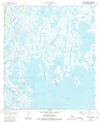
1964 Map of Lake Tambour
USGS Topo · Published 1981About this map
Lapeyrouse Oil and Gas Field defines the industrial footprint of this coastal Terrebonne Parish landscape, where intricate marshlands meet the open waters of the Gulf of Mexico. Surveyed in the mid-1960s with revisions in the late 1970s, the map reveals a complex hydraulic network of natural bayous and man-made channels like Bush Canal that facilitate energy extraction and navigation. The transition from terrestrial marsh to expansive bays is evident in the transition between Bayou Terrebonne and Lake Barre.
Find a feature on this map
39 named features on this map. Tap any name to fly to it.
Don’t see what you’re looking for? This feature index may not catch every label — zoom into the map to look around manually.
Map Details
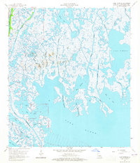
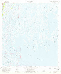
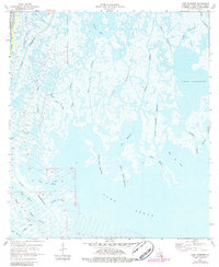
Editions of this 1964 Lake Tambour Map
4 editions found
Other maps of this area

1894 · Timbalier
USGS Topo · 1:62,500

1894 · Lake Felicity
USGS Topo · 1:62,500

1894 · Dulac
USGS Topo · 1:62,500

1935 · Cocodrie
USGS Topo · 1:31,680

1935 · Bourbeux
USGS Topo · 1:31,680

1935 · Viguerie Canal
USGS Topo · 1:31,680

1935 · Montegut
USGS Topo · 1:31,680

1935 · Lake Quitman
USGS Topo · 1:31,680

1935 · Lake Gero
USGS Topo · 1:31,680

1939 · Lake Felicity
USGS Topo · 1:62,500