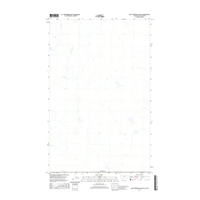
2017 Map of Lake Thibadeau NE OE N
USGS Topo · Published 2017About this map
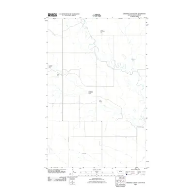
Canada marks the northern extent of this landscape, where the international boundary meets the northern reaches of Hill County. The terrain is defined by the winding course of Woodpile Cr, which meanders across the territory amidst a complex network of wetlands and intermittent water sources. This 2017 survey reflects a sparsely populated section of the high plains, where the natural drainage patterns of the creek are the primary geographical landmarks in a region largely absent of established settlements or major infrastructure. The map provides a precise look at the hydrology and topographical contours of this remote borderland area, documenting the subtle changes in elevation across the expansive northern Montana prairie.
Find a feature on this map
2 named features on this map. Tap any name to fly to it.
Don’t see what you’re looking for? This feature index may not catch every label — zoom into the map to look around manually.
Map Details
Editions of this 2017 Lake Thibadeau NE OE N Map
This is the sole edition of this map. No revisions or reprints were ever made.
Other maps of this area

1912 · Zurich
USGS Topo · 1:125,000

1912 · Thibedeau Lake
USGS Topo · 1:125,000

1953 · Havre
USGS Topo · 1:250,000

1957 · Havre
USGS Topo · 1:250,000

1958 · Havre
USGS Topo · 1:250,000
1972 · Lake Thibadeau NE
USGS Topo · 1:24,000
1972 · Creedman Coulee East
USGS Topo · 1:24,000

1984 · Havre
USGS Topo · 1:100,000
1984 · North Chinook Reservoir NW
USGS Topo · 1:24,000
2011 · Creedman Coulee East
USGS Topo · 1:24,000