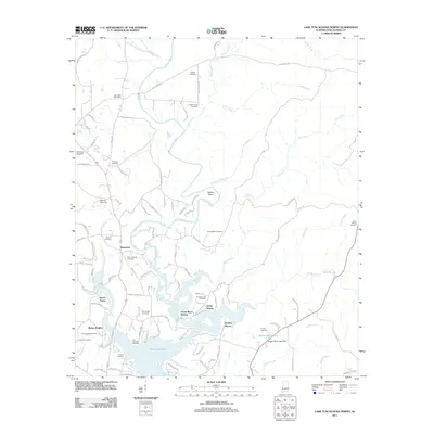
2011 Map of Lake Tuscaloosa North
USGS Topo · Published 2011About this map
Lake Tuscaloosa dominates the southern landscape of this 2011 survey, its winding shoreline creating numerous fingers and bays that define the modern residential character of the region. Local communities like Samantha and Binion Heights serve as anchor points along the corridor of the North River, while newer developments such as North Riviera and Holiday Shores reflect the area's growth as a lakeside destination. The map reveals a dense distribution of family and community burial grounds, including the Old Prewitte Cemetery, Simpson-Cain Cemetery, and Arbor Springs Cemetery, which provide significant data for genealogical research.
Find a feature on this map
99 named features on this map. Tap any name to fly to it.
Don’t see what you’re looking for? This feature index may not catch every label — zoom into the map to look around manually.
Map Details
Editions of this 2011 Lake Tuscaloosa North Map
This is the sole edition of this map. No revisions or reprints were ever made.
Other maps of this area

1893 · Jasper
USGS Topo · 1:125,000

1899 · Brookwood
USGS Topo · 1:125,000

1926 · Samantha
USGS Topo · 1:48,000

1928 · Samantha
USGS Topo · 1:62,500

1929 · Searles
USGS Topo · 1:48,000

1934 · Searles
USGS Topo · 1:62,500

1949 · Wiley
USGS Topo · 1:24,000

1951 · Wiley
USGS Topo · 1:24,000

1953 · Birmingham
USGS Topo · 1:250,000

1956 · Birmingham
USGS Topo · 1:250,000