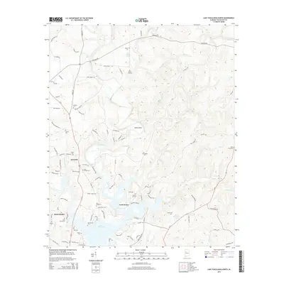
2014 Map of Lake Tuscaloosa North
USGS Topo · Published 2014About this map
Lake Tuscaloosa dominates the southern reaches of this landscape, its fingers reaching into a network of creeks and branches including Cripple Cr and Tierce Cr. The settlement of Samantha serves as a central point along the Us-43 corridor, while waterfront developments like North Riviera and Binion Heights reflect the area's modern residential character around the reservoir. The terrain is deeply tied to local family history, evidenced by a dense distribution of small burial grounds such as Philadelphia Cem, Holly Springs Cem, and the Old Prewitte Cem. Historic industry and water management are suggested by Thomas Mill Br, while the North River meanders toward the notable Skelton Bend. This survey illustrates the transition from traditional rural agriculture and family farmsteads to a recreation-oriented landscape defined by the dammed waters of the river.
Find a feature on this map
107 named features on this map. Tap any name to fly to it.
Don’t see what you’re looking for? This feature index may not catch every label — zoom into the map to look around manually.
Map Details
Editions of this 2014 Lake Tuscaloosa North Map
This is the sole edition of this map. No revisions or reprints were ever made.
Other maps of this area

1893 · Jasper
USGS Topo · 1:125,000

1899 · Brookwood
USGS Topo · 1:125,000

1926 · Samantha
USGS Topo · 1:48,000

1928 · Samantha
USGS Topo · 1:62,500

1929 · Searles
USGS Topo · 1:48,000

1934 · Searles
USGS Topo · 1:62,500

1949 · Wiley
USGS Topo · 1:24,000

1951 · Wiley
USGS Topo · 1:24,000

1953 · Birmingham
USGS Topo · 1:250,000

1956 · Birmingham
USGS Topo · 1:250,000