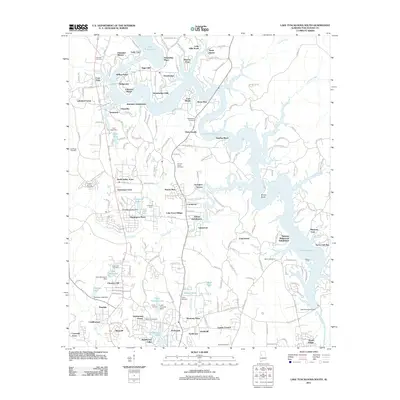
2011 Map of Lake Tuscaloosa South
USGS Topo · Published 2011About this map
Lake Tuscaloosa dominates the landscape of northern Tuscaloosa County, its irregular shoreline creating a complex network of bays and points such as Appling Bend and Sexton Bend. By the early 2010s, residential development is dense along the western and southern banks, with named subdivisions like Lakeland Forest, North Valley Acres, and Lakewood framing the waterfront. These modern enclaves sit alongside a deeper historical layer evidenced by numerous family and community burial grounds, including Cowden Cemetery and Macedonia Cemetery.
Find a feature on this map
182 named features on this map. Tap any name to fly to it.
Don’t see what you’re looking for? This feature index may not catch every label — zoom into the map to look around manually.
Map Details
Editions of this 2011 Lake Tuscaloosa South Map
This is the sole edition of this map. No revisions or reprints were ever made.
Other maps of this area

1899 · Brookwood
USGS Topo · 1:125,000

1924 · Tuscaloosa
USGS Topo · 1:62,500

1926 · Samantha
USGS Topo · 1:48,000

1926 · Tuscaloosa
USGS Topo · 1:62,500

1928 · Samantha
USGS Topo · 1:62,500

1929 · Searles
USGS Topo · 1:48,000

1931 · Cottondale
USGS Topo · 1:48,000

1934 · Searles
USGS Topo · 1:62,500

1934 · Cottondale
USGS Topo · 1:62,500

1953 · Birmingham
USGS Topo · 1:250,000