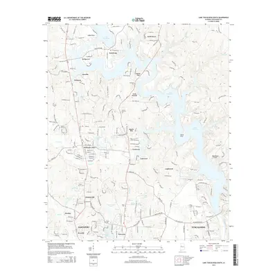
2014 Map of Lake Tuscaloosa South
USGS Topo · Published 2014About this map
Lake Tuscaloosa and its winding inlets dominate this landscape, reflecting the modern residential growth north of the Northport and Tuscaloosa city limits. This survey captures a transition from rural acreage to established lakeside communities such as Mariners Cove and Loganwood. The terrain is characterized by deep ravines and ridges bordering the North River, with major residential clusters appearing at Huntington Place and Chestnut Hill.
Find a feature on this map
222 named features on this map. Tap any name to fly to it.
Don’t see what you’re looking for? This feature index may not catch every label — zoom into the map to look around manually.
Map Details
Editions of this 2014 Lake Tuscaloosa South Map
This is the sole edition of this map. No revisions or reprints were ever made.
Other maps of this area

1899 · Brookwood
USGS Topo · 1:125,000

1924 · Tuscaloosa
USGS Topo · 1:62,500

1926 · Samantha
USGS Topo · 1:48,000

1926 · Tuscaloosa
USGS Topo · 1:62,500

1928 · Samantha
USGS Topo · 1:62,500

1929 · Searles
USGS Topo · 1:48,000

1931 · Cottondale
USGS Topo · 1:48,000

1934 · Searles
USGS Topo · 1:62,500

1934 · Cottondale
USGS Topo · 1:62,500

1953 · Birmingham
USGS Topo · 1:250,000