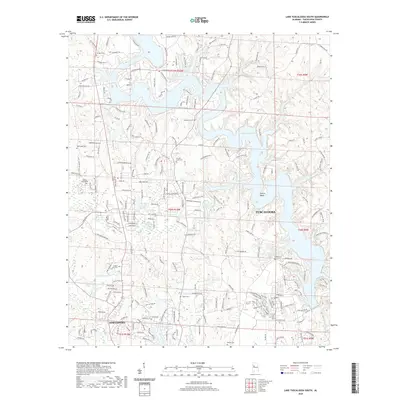
2020 Map of Lake Tuscaloosa South
USGS Topo · Published 2020About this map
Lake Tuscaloosa dominates the northern landscape, its intricate shoreline winding through the southern reaches of the county. The 2020 geography reveals a mix of suburban expansion and long-standing rural landmarks, where the outskirts of Tuscaloosa and Northport meet the water. Notable for local historians and genealogists are the numerous family and community burial grounds documented here, including Carrolls Creek Cem and Macedonia Cem. Further south, smaller bodies of water like Lake Sherwood and Northwood Lake indicate residential development patterns near the city centers. The map also records the topography around prominent features such as Sexton Bend and Stephens Mountain, providing a contemporary view of the region's physical evolution alongside decades of road development like the Old Fayette Rd and Cherokee Trl.
Find a feature on this map
221 named features on this map. Tap any name to fly to it.
Don’t see what you’re looking for? This feature index may not catch every label — zoom into the map to look around manually.
Map Details
Editions of this 2020 Lake Tuscaloosa South Map
This is the sole edition of this map. No revisions or reprints were ever made.
Other maps of this area

1899 · Brookwood
USGS Topo · 1:125,000

1924 · Tuscaloosa
USGS Topo · 1:62,500

1926 · Samantha
USGS Topo · 1:48,000

1926 · Tuscaloosa
USGS Topo · 1:62,500

1928 · Samantha
USGS Topo · 1:62,500

1929 · Searles
USGS Topo · 1:48,000

1931 · Cottondale
USGS Topo · 1:48,000

1934 · Searles
USGS Topo · 1:62,500

1934 · Cottondale
USGS Topo · 1:62,500

1953 · Birmingham
USGS Topo · 1:250,000