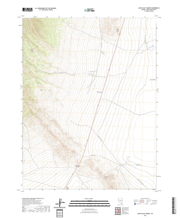
2021 Map of Lake Valley Summit
USGS Topo · Published 2021About this map
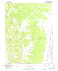
Lake Valley Summit and the surrounding high desert of White Pine County are captured in this 2021 topographic study, which documents the topographical transition between two prominent ranges. The landscape is defined by the Schell Creek Range to the northwest and the Fortification Range to the southeast, separated by the broad expanses of Lake Valley and Spring Valley. This high-altitude corridor has long served as a natural passage for travelers moving between basins.
Find a feature on this map
21 named features on this map. Tap any name to fly to it.
Don’t see what you’re looking for? This feature index may not catch every label — zoom into the map to look around manually.
Map Details
Editions of this 2021 Lake Valley Summit Map
This is the sole edition of this map. No revisions or reprints were ever made.
Other maps of this area

1948 · Wheeler Peak
USGS Topo · 1:62,500

1950 · Wheeler Peak
USGS Topo · 1:62,500

1956 · Lund
USGS Topo · 1:250,000

1960 · Lund
USGS Topo · 1:250,000

1973 · Indian Springs Knolls
USGS Topo · 1:24,000

1973 · Cattle Camp Spring
USGS Topo · 1:24,000
1973 · North Spring Point
USGS Topo · 1:24,000
1973 · Mount Grafton NE
USGS Topo · 1:24,000
1973 · Horse Camp Springs
USGS Topo · 1:24,000
1978 · Mt. Grafton
USGS Topo · 1:24,000