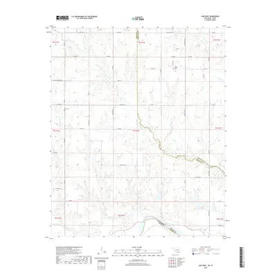
2018 Map of Lake West
USGS Topo · Published 2018About this map
The Red River defines the southern boundary of this Oklahoma landscape, where the Blue River joins the main channel amid a complex of creek drainages and riparian bottomlands. This part of Bryan County is characterized by its numerous natural water sources, including Sibu Spring and Patsy Spring, which historically supported local agriculture and settlement. The interior is networked by section-line roads such as Lake West Rd and Wilson School Rd, pointing toward the community and educational hubs that shaped the district. Genealogists can locate several family and community burial grounds, including Dill Cem, Jackson Cem, and Good Springs Cem, situated near drainage headwaters like Whitegrass Cr and Frazier Cr. The map captures the meeting of Choctaw and Bryan counties, revealing a rural topography defined by small-scale cattle ranching and tributary systems like Whitesand Cr and Slash Cr.
Find a feature on this map
45 named features on this map. Tap any name to fly to it.
Don’t see what you’re looking for? This feature index may not catch every label — zoom into the map to look around manually.
Map Details
Editions of this 2018 Lake West Map
This is the sole edition of this map. No revisions or reprints were ever made.
Other maps of this area

1899 · Atoka
USGS Topo · 1:125,000

1900 · Atoka
USGS Topo · 1:125,000

1901 · Antlers
USGS Topo · 1:125,000

1903 · Paris
USGS Topo · 1:125,000

1912 · Antlers
USGS Topo · 1:125,000

1925 · Antlers
USGS Topo · 1:125,000

1948 · Direct
USGS Topo · 1:62,500

1949 · Direct
USGS Topo · 1:62,500

1950 · Mcalester
USGS Topo · 1:250,000

1953 · Texarkana
USGS Topo · 1:250,000