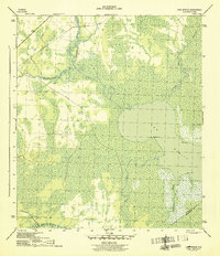
1945 Map of Lake Wimico
USGS Topo · Published 1945About this map
Lake Wimico and the surrounding marshlands of Gulf County define this mid-century landscape during the final years of the Second World War. The map documents a critical intersection of water-based and industrial transport, featuring the Intracoastal Waterway as it cuts through Searcy Creek and the Clay Cut. This waterway provided a vital inland route for shipping, protected from the open Gulf.
Find a feature on this map
20 named features on this map. Tap any name to fly to it.
Don’t see what you’re looking for? This feature index may not catch every label — zoom into the map to look around manually.
Map Details
Editions of this 1945 Lake Wimico Map
5 editions found
Other maps of this area

1943 · Port St. Joe
USGS Topo · 1:31,680

1943 · Cape San Blas
USGS Topo · 1:31,680

1943 · West Pass
USGS Topo · 1:31,680

1943 · Overstreet
USGS Topo · 1:31,680

1943 · Indian Pass
USGS Topo · 1:24,000

1943 · Jackson River
USGS Topo · 1:24,000

1944 · White City
USGS Topo · 1:24,000

1944 · Forbes Island
USGS Topo · 1:24,000

1945 · Forbes Island
USGS Topo · 1:31,680

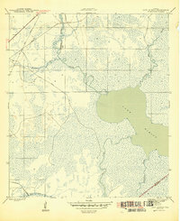
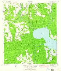
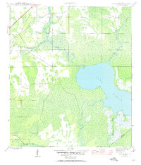
1945 · Lake Wimico
USGS Topo · 1:31,680