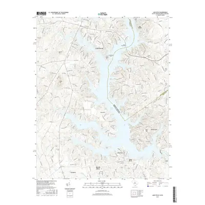
2017 Map of Lake Wylie
USGS Topo · Published 2017About this map
Lake Wylie and the Catawba River define this interstate landscape, where the waters of the reservoir bridge the boundary between York County, South Carolina, and Mecklenburg County, North Carolina. The map documents a heavily developed residential and recreational shoreline characterized by intricate coves like Allison Creek and Crowders Creek. Substantial settlements including Rock Hill, Tega Cay, and Newport anchor the southern half of the sheet, while northern points such as Commodore Point and Island Point navigate the widening lake. The preservation of local history is evident in the cluster of rural institutions that remain among modern growth, specifically the church and cemetery sites at Pleasant Hill Church Cem, Ozion Church Cem, and Zoar Church Cem. Inland, the terrain rises toward Nanny Mtn and Barnett Mtn, providing relief from the winding lakefront suburbs and established transport corridors.
Find a feature on this map
217 named features on this map. Tap any name to fly to it.
Don’t see what you’re looking for? This feature index may not catch every label — zoom into the map to look around manually.
Map Details
Editions of this 2017 Lake Wylie Map
This is the sole edition of this map. No revisions or reprints were ever made.
Other maps of this area

1905 · Charlotte
USGS Topo · 1:48,000

1907 · Charlotte
USGS Topo · 1:62,500

1941 · Charlotte
USGS Topo · 1:125,000

1941 · Spartanburg
USGS Topo · 1:250,000

1942 · Charlotte
USGS Topo · 1:125,000

1947 · Clover
USGS Topo · 1:62,500

1948 · Charlotte West
USGS Topo · 1:24,000

1949 · Clover
USGS Topo · 1:62,500

1949 · Charlotte West
USGS Topo · 1:24,000

1949 · Rock Hill
USGS Topo · 1:62,500