1976 Map of Lake Wylie
USGS Topo · Published 1978About this map
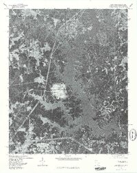
Lake Wylie dominates this mid-1970s orthophotoquad, its intricate, branching shoreline reflecting the drowned topography of the Catawba River valley. This aerial-based perspective, prepared by the Geological Survey in cooperation with North Carolina, provides a unique visual record of the emerging residential and recreational patterns along the South Carolina-North Carolina border. Small communities like Pine Harbor and Five Points are visible amidst the dense forest cover and clearing tracts that define the landscape during this period of transition. The orthophoto format allows for the direct observation of land use, from the wooded slopes of Nanny Mountain to the developing areas near India Hook. Unlike a traditional line-and-tint map, this imagery preserves the exact footprint of forest edges, individual docks, and early subdivision roads as they existed in February 1976, offering a precise look at the environment before further decades of suburban expansion altered the peninsulae of Crowders Creek.
Find a feature on this map
7 named features on this map. Tap any name to fly to it.
Don’t see what you’re looking for? This feature index may not catch every label — zoom into the map to look around manually.
Map Details
Editions of this 1976 Lake Wylie Map
This is the sole edition of this map. No revisions or reprints were ever made.
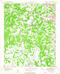
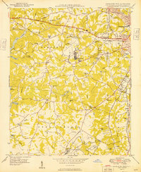
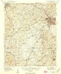
Other maps of this area

1905 · Charlotte
USGS Topo · 1:48,000

1907 · Charlotte
USGS Topo · 1:62,500

1941 · Charlotte
USGS Topo · 1:125,000

1941 · Spartanburg
USGS Topo · 1:250,000

1942 · Charlotte
USGS Topo · 1:125,000

1947 · Clover
USGS Topo · 1:62,500
1948 · Charlotte West
USGS Topo · 1:24,000

1949 · Clover
USGS Topo · 1:62,500
1949 · Charlotte West
USGS Topo · 1:24,000
1949 · Rock Hill
USGS Topo · 1:62,500