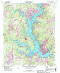
1993 Map of Lake Wylie
USGS Topo · Published 1996About this map
Lake Wylie dominates this borderland landscape where the Catawba River crosses between North and South Carolina. This 1990s revision reveals the intensive residential and recreational development along the shoreline, notably around Tega Cay and Lakewood. While the lake's fingers reach deep into the surrounding hills, many older landmarks remain visible on the higher ground. Genealogists and local historians can locate several historic congregations including China Grove Ch, Allison Creek Ch, and Pine Grove Ch. At the south end of the map, the Wylie Dam stands as a primary engineering feature, while the York County Nature Museum and Buster Boyd Bridge serve as focal points for the community's mid-century expansion. The map also highlights industrial and utility sites like the substation at Concord and the radio towers near Five Points.
Find a feature on this map
48 named features on this map. Tap any name to fly to it.
Don’t see what you’re looking for? This feature index may not catch every label — zoom into the map to look around manually.
Map Details
Editions of this 1993 Lake Wylie Map
This is the sole edition of this map. No revisions or reprints were ever made.
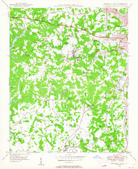
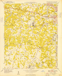
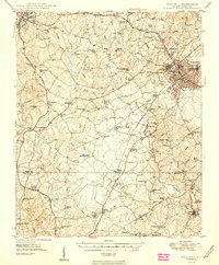
Other maps of this area

1905 · Charlotte
USGS Topo · 1:48,000

1907 · Charlotte
USGS Topo · 1:62,500

1941 · Charlotte
USGS Topo · 1:125,000

1941 · Spartanburg
USGS Topo · 1:250,000

1942 · Charlotte
USGS Topo · 1:125,000

1947 · Clover
USGS Topo · 1:62,500
1948 · Charlotte West
USGS Topo · 1:24,000

1949 · Clover
USGS Topo · 1:62,500
1949 · Charlotte West
USGS Topo · 1:24,000
1949 · Rock Hill
USGS Topo · 1:62,500