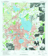
1975 Map of Lakeland
USGS Topo · Published 1976About this map
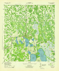
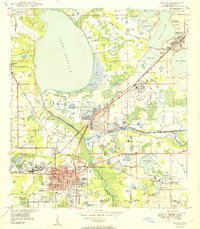
The lake-dotted landscape of Lakeland is defined by its namesake water bodies and the expansion of the mid-1970s. This survey illustrates a city shaped by its distinctive topography, where residential areas like South Florida Heights and Cleveland Heights wrap around the shores of Lake Hollingsworth and Lake Morton. The influence of education and culture is clear, with the prominent campus of Florida Southern College and the South Eastern Bible College situated near the urban core.
Find a feature on this map
100 named features on this map. Tap any name to fly to it.
Don’t see what you’re looking for? This feature index may not catch every label — zoom into the map to look around manually.
Map Details
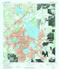
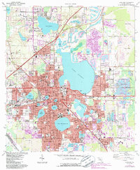
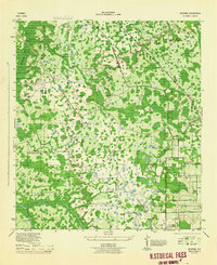
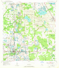
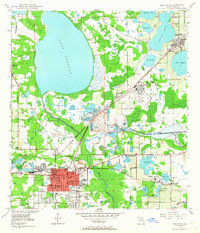
Editions of this 1975 Lakeland Map
3 editions found
Other maps of this area

1944 · Plant City
USGS Topo · 1:31,680
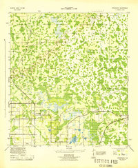
1944 · Providence
USGS Topo · 1:31,680
1944 · Polk City
USGS Topo · 1:31,680

1944 · Lakeland
USGS Topo · 1:31,680

1944 · Auburndale
USGS Topo · 1:31,680
1944 · Socrum
USGS Topo · 1:31,680
1949 · Mulberry
USGS Topo · 1:24,000
1949 · Bartow
USGS Topo · 1:24,000
1950 · Mulberry
USGS Topo · 1:24,000
1950 · Bartow
USGS Topo · 1:24,000