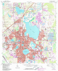
1975 Map of Lakeland
USGS Topo · Published 1987About this map
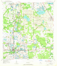
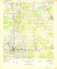
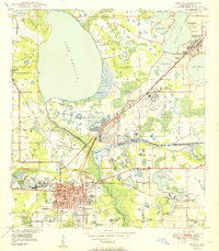
The central Florida landscape around Lakeland is defined by its numerous named lakes, which are woven into the urban and industrial fabric of the mid-1970s. From the large expanse of Lake Gibson in the north to the iconic Lake Hollingsworth near the center, these water bodies serve as the primary landmarks for the city's growth. The 1987 revisions show significant land use changes, particularly to the east and south where extensive Strip Mines and several areas of Reclaimed Strip Mine dominate the terrain. These industrial features contrast sharply with the established residential areas around Gibsonia and Griffin. Local infrastructure is well-documented, including the CSX rail line and a dense network of educational and religious institutions such as St Marks Ch and the Kathleen High Sch. The map provides a look at the region’s economic transition as former phosphate mining lands were being converted for other uses.
Find a feature on this map
67 named features on this map. Tap any name to fly to it.
Don’t see what you’re looking for? This feature index may not catch every label — zoom into the map to look around manually.
Map Details
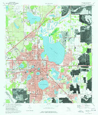
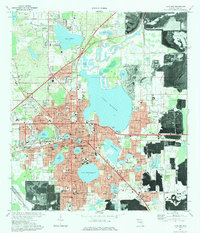
Editions of this 1975 Lakeland Map
3 editions found
Other maps of this area

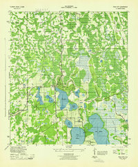
1944 · Plant City
USGS Topo · 1:31,680
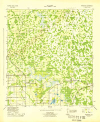
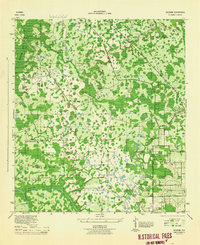
1944 · Providence
USGS Topo · 1:31,680
1944 · Polk City
USGS Topo · 1:31,680

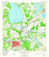
1944 · Lakeland
USGS Topo · 1:31,680

1944 · Auburndale
USGS Topo · 1:31,680
1944 · Socrum
USGS Topo · 1:31,680
1949 · Mulberry
USGS Topo · 1:24,000
1949 · Bartow
USGS Topo · 1:24,000
1950 · Mulberry
USGS Topo · 1:24,000
1950 · Bartow
USGS Topo · 1:24,000