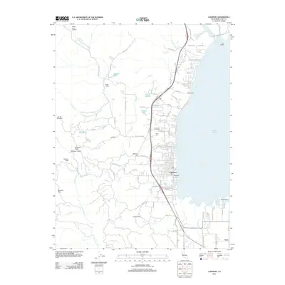
2012 Map of Lakeport
USGS Topo · Published 2012About this map
Lakeport occupies the western shoreline of Clear Lake, serving as a central hub for the surrounding agricultural and mountain landscape. The town's layout extends from Rumsey Bay toward the heights of Brewery Hill, with residential developments like Willow Point and the George C Hoberg Vista Point providing views across the water. To the west, the topography rises sharply toward McGregor Ridge and Boundary Ridge, where drainage from S Fork Scotts Cr and Benmore Cr feeds into the valley below.
Find a feature on this map
90 named features on this map. Tap any name to fly to it.
Don’t see what you’re looking for? This feature index may not catch every label — zoom into the map to look around manually.
Map Details
Editions of this 2012 Lakeport Map
This is the sole edition of this map. No revisions or reprints were ever made.
Other maps of this area

1920 · Ukiah
USGS Topo · 1:62,500

1921 · Kelseyville
USGS Topo · 1:62,500

1938 · Lakeport
USGS Topo · 1:62,500

1938 · Hopland
USGS Topo · 1:62,500

1943 · Kelseyville
USGS Topo · 1:62,500

1943 · Hopland
USGS Topo · 1:62,500

1944 · Ukiah
USGS Topo · 1:62,500

1944 · Hopland
USGS Topo · 1:62,500

1947 · Santa Rosa
USGS Topo · 1:250,000

1949 · Santa Rosa
USGS Topo · 1:250,000