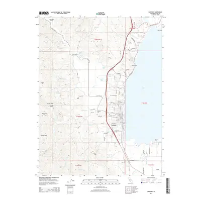
2015 Map of Lakeport
USGS Topo · Published 2015About this map
Clear Lake dominates the eastern shoreline of this Lake County region, where the seat of Lakeport serves as a primary hub. The city's residential grid extends toward landmarks like Brewery Hill and the Hartley Cemetery, while the western landscape rises sharply into the summits of McGregor Ridge and Scotts Mtn. The map documents a complex network of canyons and peaks, including White Rock Canyon and Lakeport Peak, which overlook the fertile valleys of Scotts Valley and the unincorporated community of Finley.
Find a feature on this map
110 named features on this map. Tap any name to fly to it.
Don’t see what you’re looking for? This feature index may not catch every label — zoom into the map to look around manually.
Map Details
Editions of this 2015 Lakeport Map
This is the sole edition of this map. No revisions or reprints were ever made.
Other maps of this area

1920 · Ukiah
USGS Topo · 1:62,500

1921 · Kelseyville
USGS Topo · 1:62,500

1938 · Lakeport
USGS Topo · 1:62,500

1938 · Hopland
USGS Topo · 1:62,500

1943 · Kelseyville
USGS Topo · 1:62,500

1943 · Hopland
USGS Topo · 1:62,500

1944 · Ukiah
USGS Topo · 1:62,500

1944 · Hopland
USGS Topo · 1:62,500

1947 · Santa Rosa
USGS Topo · 1:250,000

1949 · Santa Rosa
USGS Topo · 1:250,000