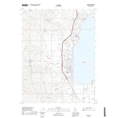
2018 Map of Lakeport
USGS Topo · Published 2018About this map
Lakeport and North Lakeport sit along the western edge of Clear Lake, where the lakefront is shaped by landmarks like Willow Point and the waters of Rumsey Bay. This 2018 survey documents the residential and recreational expansion along the shoreline, contrasting with the more rural western interior. Rising above the city, Brewery Hill and Lakeport Peak provide a dramatic backdrop to the developed corridor, while the agricultural history of the region is evident in the layout of Scotts Valley and the small community of Finley. Researchers will find significant local genealogy and history landmarks, including the Hartley Cem, positioned near the junction of several local roads. The map also captures several smaller bodies of water, such as Burger Lake and Crystal Lake, tucked into the hillsides away from the main shoreline. From the marshes of Rumsey Slough to the heights of McGregor Ridge, this record details the modern state of the Lake County seat and its surroundings.
Find a feature on this map
125 named features on this map. Tap any name to fly to it.
Don’t see what you’re looking for? This feature index may not catch every label — zoom into the map to look around manually.
Map Details
Editions of this 2018 Lakeport Map
This is the sole edition of this map. No revisions or reprints were ever made.
Other maps of this area

1920 · Ukiah
USGS Topo · 1:62,500

1921 · Kelseyville
USGS Topo · 1:62,500

1938 · Lakeport
USGS Topo · 1:62,500

1938 · Hopland
USGS Topo · 1:62,500

1943 · Kelseyville
USGS Topo · 1:62,500

1943 · Hopland
USGS Topo · 1:62,500

1944 · Ukiah
USGS Topo · 1:62,500

1944 · Hopland
USGS Topo · 1:62,500

1947 · Santa Rosa
USGS Topo · 1:250,000

1949 · Santa Rosa
USGS Topo · 1:250,000