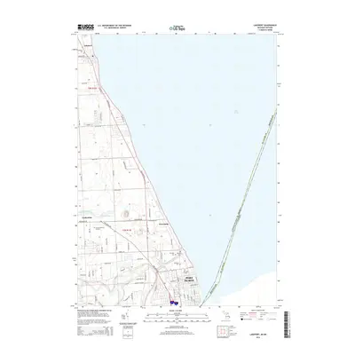
2014 Map of Lakeport
USGS Topo · Published 2014About this map
The western shores of Lake Huron define the landscape of this coastal Michigan region, where the urban edge of Port Huron meets the smaller shoreline settlements of Keewahdin and Lakeport. This survey captures the transition from dense residential blocks to the north-running Lakeshore Rd, a vital corridor connecting these lakeside communities. The interior is drained by systems like Doe Cr, Brandywine Drain, and the Black River Canal, which cuts through the southern portion of the map toward the city center.
Find a feature on this map
63 named features on this map. Tap any name to fly to it.
Don’t see what you’re looking for? This feature index may not catch every label — zoom into the map to look around manually.
Map Details
Editions of this 2014 Lakeport Map
This is the sole edition of this map. No revisions or reprints were ever made.
Other maps of this area

1912 · Port Huron
USGS Topo · 1:62,500

1928 · Hicky
USGS Topo · 1:62,500

1929 · Port Huron
USGS Topo · 1:62,500

1939 · Port Huron
USGS Topo · 1:24,000

1939 · Smiths Creek
USGS Topo · 1:24,000
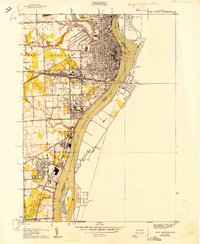
1949 · Port Huron
USGS Topo · 1:24,000
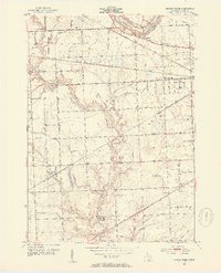
1952 · Smiths Creek
USGS Topo · 1:24,000
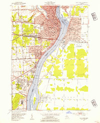
1952 · Port Huron
USGS Topo · 1:24,000

1954 · Detroit
USGS Topo · 1:250,000

1954 · Flint
USGS Topo · 1:250,000