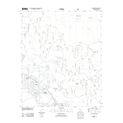
2011 Map of Lakeside
USGS Topo · Published 2011About this map
Lakeside and Pinetop anchor this landscape during a period of established mountain community growth in Navajo County. The map captures the complex hydrological network of the Mogollon Rim area, where numerous springs like Adair Spring and Peterson Spring feed into water bodies including Rainbow Lake and Scott Reservoir. The settlement pattern follows the contours of the terrain, with residential developments extending along Porter Creek and Billy Creek, while the higher elevations are defined by prominent features such as Timber Mesa and Porter Mountain.
Find a feature on this map
82 named features on this map. Tap any name to fly to it.
Don’t see what you’re looking for? This feature index may not catch every label — zoom into the map to look around manually.
Map Details
Editions of this 2011 Lakeside Map
This is the sole edition of this map. No revisions or reprints were ever made.
Other maps of this area

1886 · St Johns
USGS Topo · 1:250,000

1886 · Holbrook
USGS Topo · 1:250,000

1892 · St Johns
USGS Topo · 1:250,000

1893 · Holbrook
USGS Topo · 1:250,000

1954 · Holbrook
USGS Topo · 1:250,000

1954 · Saint Johns
USGS Topo · 1:250,000

1957 · Holbrook
USGS Topo · 1:250,000

1957 · Saint Johns
USGS Topo · 1:250,000

1958 · Saint Johns
USGS Topo · 1:250,000

1958 · Holbrook
USGS Topo · 1:250,000