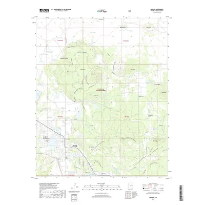
2018 Map of Lakeside
USGS Topo · Published 2018About this map
The high country of the Sitgreaves National Forest unfolds across this survey, centered on the growing communities of Pinetop-Lakeside and the southern reaches of Show Low. The landscape is defined by its complex network of recreational and motorized trails, including the Maverick Motorized route and the Panorama Shortcut Trail, reflecting the area's transition into a modern outdoor destination. Notable for its volcanic topography, the map identifies prominent peaks like Porter Mtn and Woolhouse Mtn, alongside the geological interest of the Ice Cave near Peterson Tank.
Find a feature on this map
91 named features on this map. Tap any name to fly to it.
Don’t see what you’re looking for? This feature index may not catch every label — zoom into the map to look around manually.
Map Details
Editions of this 2018 Lakeside Map
This is the sole edition of this map. No revisions or reprints were ever made.
Other maps of this area

1886 · St Johns
USGS Topo · 1:250,000

1886 · Holbrook
USGS Topo · 1:250,000

1892 · St Johns
USGS Topo · 1:250,000

1893 · Holbrook
USGS Topo · 1:250,000

1954 · Holbrook
USGS Topo · 1:250,000

1954 · Saint Johns
USGS Topo · 1:250,000

1957 · Holbrook
USGS Topo · 1:250,000

1957 · Saint Johns
USGS Topo · 1:250,000

1958 · Saint Johns
USGS Topo · 1:250,000

1958 · Holbrook
USGS Topo · 1:250,000