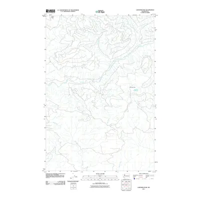
2011 Map of Lakeview Peak
USGS Topo · Published 2011About this map
The Kalama River and its numerous tributaries dominate this high-elevation landscape in Cowlitz County. The terrain is defined by dramatic topographical relief, reaching a prominent summit at Lakeview Peak, which overlooks the small alpine basin of Lakeview Peak Lake. An intricate network of forest roads and trails threads through the drainages of Elk Creek and Wolf Creek, illustrating the modern management of this timber-rich region.
Find a feature on this map
15 named features on this map. Tap any name to fly to it.
Don’t see what you’re looking for? This feature index may not catch every label — zoom into the map to look around manually.
Map Details
Editions of this 2011 Lakeview Peak Map
This is the sole edition of this map. No revisions or reprints were ever made.
Other maps of this area

1919 · Mount St Helens
USGS Topo · 1:125,000

1940 · La Center
USGS Topo · 1:62,500

1941 · Yacolt
USGS Topo · 1:62,500

1943 · Pigeon Springs
USGS Topo · 1:62,500

1948 · Vancouver
USGS Topo · 1:250,000

1950 · Vancouver
USGS Topo · 1:250,000

1950 · Vancouver
USGS Topo · 1:250,000

1953 · Hoquiam
USGS Topo · 1:250,000

1953 · Pigeon Springs
USGS Topo · 1:62,500

1953 · Cougar
USGS Topo · 1:62,500