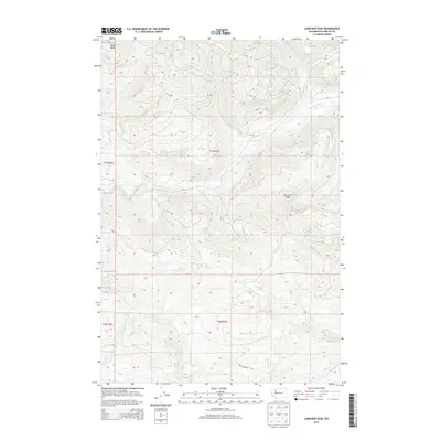
2013 Map of Lakeview Peak
USGS Topo · Published 2013About this map
The Kalama River winds through the high-elevation terrain of Cowlitz County, serving as the central drainage for this section of the Cascade Range. The landscape is dominated by notable summits like Lakeview Peak and Butler Butte, where the topography drops sharply into deep creek valleys. Remote water bodies such as Lakeview Peak Lake are tucked into the high ridges, while a network of alpine streams including Indian George Cr and W Fork Speelyai Cr feed the larger river systems below. Apart from Rock Creek Rd, the area remains largely defined by its natural drainage patterns and the absence of established settlements, reflecting the managed forest lands and mountainous character of southwest Washington in the early twenty-first century.
Find a feature on this map
18 named features on this map. Tap any name to fly to it.
Don’t see what you’re looking for? This feature index may not catch every label — zoom into the map to look around manually.
Map Details
Editions of this 2013 Lakeview Peak Map
This is the sole edition of this map. No revisions or reprints were ever made.
Other maps of this area

1919 · Mount St Helens
USGS Topo · 1:125,000

1940 · La Center
USGS Topo · 1:62,500

1941 · Yacolt
USGS Topo · 1:62,500

1943 · Pigeon Springs
USGS Topo · 1:62,500

1948 · Vancouver
USGS Topo · 1:250,000

1950 · Vancouver
USGS Topo · 1:250,000

1950 · Vancouver
USGS Topo · 1:250,000

1953 · Hoquiam
USGS Topo · 1:250,000

1953 · Pigeon Springs
USGS Topo · 1:62,500

1953 · Cougar
USGS Topo · 1:62,500