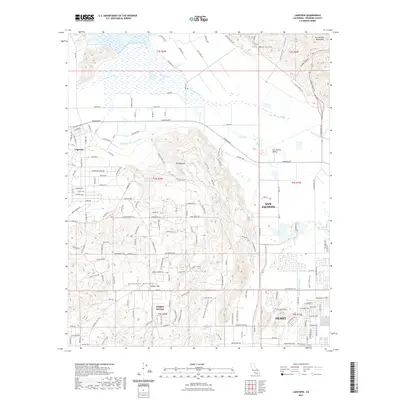
2021 Map of Lakeview
USGS Topo · Published 2021About this map
The San Jacinto River meanders through the northern reaches of this Riverside County landscape, defining the broad San Jacinto Valley below the northern edge of The Badlands. This region is a critical node for water infrastructure, marked by the prominent path of the Colorado River Aqueduct and the San Diego Aqueduct. These engineering works cut across a terrain dominated by the Lakeview Mountains and Mt Rudolph, illustrating the complex management of resources in the arid California interior.
Find a feature on this map
164 named features on this map. Tap any name to fly to it.
Don’t see what you’re looking for? This feature index may not catch every label — zoom into the map to look around manually.
Map Details
Editions of this 2021 Lakeview Map
This is the sole edition of this map. No revisions or reprints were ever made.
Other maps of this area

1901 · Southern California Sheet No. 1
USGS Topo · 1:250,000

1901 · San Jacinto
USGS Topo · 1:125,000

1901 · Elsinore
USGS Topo · 1:125,000

1904 · Southern California Sheet No. 1
USGS Topo · 1:250,000

1942 · Banning
USGS Topo · 1:62,500

1942 · Hemet
USGS Topo · 1:62,500

1942 · Murrieta
USGS Topo · 1:62,500

1942 · Perris
USGS Topo · 1:62,500

1943 · Perris
USGS Topo · 1:62,500

1943 · Hemet
USGS Topo · 1:62,500