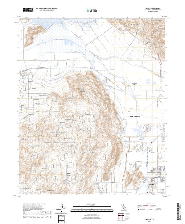
2023 Map of Lakeview
USGS Topo · Published 2023About this map
The San Jacinto River meanders across a landscape defined by the critical water infrastructure of the inland empire, including the Colorado River Aqueduct and the San Diego Canal. This modern survey illustrates the proximity of agricultural traditions and growing residential developments in the San Jacinto Valley. The rugged contours of the Lakeview Mountains and The Badlands hem in the flatlands where the settlements of Lakeview and Nuevo are situated.
Find a feature on this map
144 named features on this map. Tap any name to fly to it.
Don’t see what you’re looking for? This feature index may not catch every label — zoom into the map to look around manually.
Map Details
Editions of this 2023 Lakeview Map
This is the sole edition of this map. No revisions or reprints were ever made.
Other maps of this area

1901 · Southern California Sheet No. 1
USGS Topo · 1:250,000

1901 · San Jacinto
USGS Topo · 1:125,000

1901 · Elsinore
USGS Topo · 1:125,000

1904 · Southern California Sheet No. 1
USGS Topo · 1:250,000

1942 · Banning
USGS Topo · 1:62,500

1942 · Hemet
USGS Topo · 1:62,500

1942 · Murrieta
USGS Topo · 1:62,500

1942 · Perris
USGS Topo · 1:62,500

1943 · Perris
USGS Topo · 1:62,500

1943 · Hemet
USGS Topo · 1:62,500