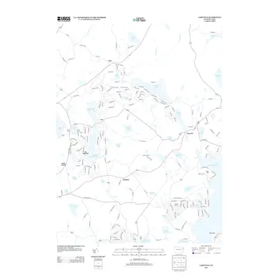
2013 Map of Lakeville
USGS Topo · Published 2013About this map
Lake Wallenpaupack dominates the southeastern reaches of this Pennsylvania landscape, a massive water body that has reshaped the local geography into a hub for recreation and residential development. By the early 21st century, the area shows a dense network of private communities and subdivisions, most notably The Hideout, which surrounds Roaming Woods Lake and Brooks Lake. These planned enclaves contrast with older crossroads settlements like Lakeville and Arlington, where traditional road patterns meet newer winding lanes like Chestnut Hill Rd.
Find a feature on this map
174 named features on this map. Tap any name to fly to it.
Don’t see what you’re looking for? This feature index may not catch every label — zoom into the map to look around manually.
Map Details
Editions of this 2013 Lakeville Map
This is the sole edition of this map. No revisions or reprints were ever made.
Other maps of this area

1892 · Honesdale
USGS Topo · 1:62,500

1920 · Damascus
USGS Topo · 1:62,500

1923 · Damascus
USGS Topo · 1:62,500

1928 · Ariel
USGS Topo · 1:62,500

1932 · Ariel
USGS Topo · 1:62,500

1935 · Hawley
USGS Topo · 1:62,500

1938 · Hawley
USGS Topo · 1:62,500

1943 · Honesdale
USGS Topo · 1:125,000

1944 · Damascus
USGS Topo · 1:62,500

1946 · Honesdale
USGS Topo · 1:24,000
Featured Places
- Cherry Ridge Township, PA
- South Canaan Township, PA
- Greene Township, PA
- Palmyra Township, PA
- Lakeville, PA