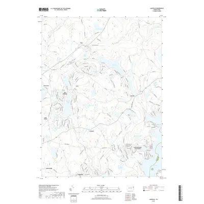
2019 Map of Lakeville
USGS Topo · Published 2019About this map
The Hideout and Wallenpaupack Lake Estates characterize the residential development of this Lake Region landscape in Wayne County. Situated between the shores of Lake Wallenpaupack and Lake Ariel, the terrain is defined by its numerous glacial water bodies, including Roaming Woods Lake, Paupackan Lake, and Lake Lacawac. The map details a transition from smaller historic settlements like Pink and Avoy to more expansive lakeside communities.
Find a feature on this map
148 named features on this map. Tap any name to fly to it.
Don’t see what you’re looking for? This feature index may not catch every label — zoom into the map to look around manually.
Map Details
Editions of this 2019 Lakeville Map
This is the sole edition of this map. No revisions or reprints were ever made.
Other maps of this area

1892 · Honesdale
USGS Topo · 1:62,500

1920 · Damascus
USGS Topo · 1:62,500

1923 · Damascus
USGS Topo · 1:62,500

1928 · Ariel
USGS Topo · 1:62,500

1932 · Ariel
USGS Topo · 1:62,500

1935 · Hawley
USGS Topo · 1:62,500

1938 · Hawley
USGS Topo · 1:62,500

1943 · Honesdale
USGS Topo · 1:125,000

1944 · Damascus
USGS Topo · 1:62,500

1946 · Honesdale
USGS Topo · 1:24,000
Featured Places
- Cherry Ridge Township, PA
- South Canaan Township, PA
- Greene Township, PA
- Palmyra Township, PA
- Lakeville, PA