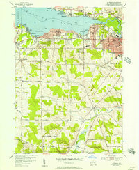
1954 Map of Lakewood
USGS Topo · Published 1957About this map
Chautauqua Lake anchors this mid-century portrait of southern New York, where the southern shore is defined by established communities and seasonal retreats. The Erie Railroad corridor shapes the development of Lakewood and Celoron, connecting them to the larger industrial center of Jamestown just to the east. While the lakeside features specialized infrastructure like a Gaging Sta and Sewage Disposal plant near the Chadakoin River, the inland areas of Busti and Harmony maintain a rural character. Family legacies are preserved in numerous small burial grounds such as Wellman Road Cem and Knapp Cem, which dot the landscape alongside local landmarks like the Southwestern Central School and the Maplehurst Golf Course. The topography reveals a transition from the level lake basin to the higher elevations of the southern town lines, where Goose Creek and Stillwater Creek drain the countryside.
Find a feature on this map
81 named features on this map. Tap any name to fly to it.
Don’t see what you’re looking for? This feature index may not catch every label — zoom into the map to look around manually.
Map Details
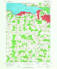
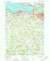
Editions of this 1954 Lakewood Map
3 editions found
Other maps of this area

1904 · Chautaqua
USGS Topo · 1:62,500

1905 · Jamestown
USGS Topo · 1:62,500

1906 · Warren
USGS Topo · 1:62,500

1907 · Warren
USGS Topo · 1:62,500

1908 · Warren
USGS Topo · 1:62,500

1926 · Youngsville
USGS Topo · 1:62,500

1929 · Youngsville
USGS Topo · 1:62,500

1941 · Chautauqua
USGS Topo · 1:62,500

1942 · Jamestown
USGS Topo · 1:62,500

1943 · Youngsville
USGS Topo · 1:62,500