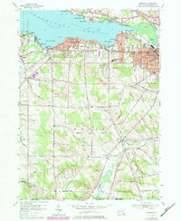
1954 Map of Lakewood
USGS Topo · Published 1980About this map
Chautauqua Lake defines the northern edge of this 1950s survey, with its southern shoreline dotted by mid-century communities and seasonal retreats. From the bustling residential streets of Jamestown and Celoron in the east to the smaller landings at Vukote, Maple Point, and Ashville, the map captures a period of lakeside expansion and established civic infrastructure. The industrial and transit character of the region is evident in the Conrail rail lines and the presence of the Armory and Radio Tower (WJTN).
Find a feature on this map
70 named features on this map. Tap any name to fly to it.
Don’t see what you’re looking for? This feature index may not catch every label — zoom into the map to look around manually.
Map Details
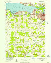
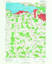
Editions of this 1954 Lakewood Map
3 editions found
Other maps of this area

1904 · Chautaqua
USGS Topo · 1:62,500

1905 · Jamestown
USGS Topo · 1:62,500

1906 · Warren
USGS Topo · 1:62,500

1907 · Warren
USGS Topo · 1:62,500

1908 · Warren
USGS Topo · 1:62,500

1926 · Youngsville
USGS Topo · 1:62,500

1929 · Youngsville
USGS Topo · 1:62,500

1941 · Chautauqua
USGS Topo · 1:62,500

1942 · Jamestown
USGS Topo · 1:62,500

1943 · Youngsville
USGS Topo · 1:62,500