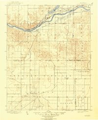
1900 Map of Lakin
USGS Topo · Published 1948About this map
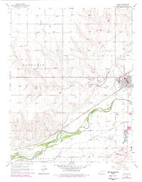
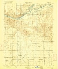
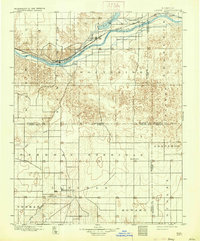
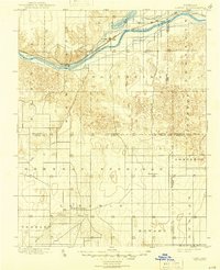
The Atchison Topeka and Santa Fe Railroad corridor defines the late 19th-century development of the High Plains, following the northern bank of the Arkansas River. This survey captures the region as irrigation infrastructure began to reshape the landscape, evidenced by the Eastern Canal and Lake McKinney. While the northern portion of the map is anchored by the river and rail towns of Lakin, Hartland, and Deerfield, the southern half transitions toward the valley of the Cimarron River. In this less-developed section, the settlement of New Ulysses stands out as a primary interior hub. Local life and early homesteading are marked by isolated post offices and stations such as Warrendale, Olive, and Sutton, providing a clear view of the early township system across Kearny, Grant, Finney, and Haskell counties before modern highway networks were established.
Find a feature on this map
30 named features on this map. Tap any name to fly to it.
Don’t see what you’re looking for? This feature index may not catch every label — zoom into the map to look around manually.
Map Details
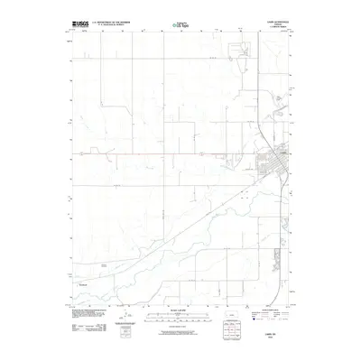
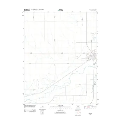
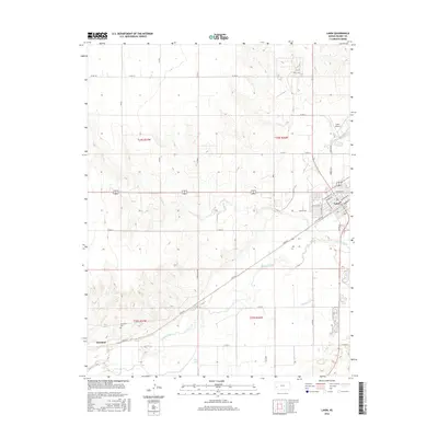
Editions of this 1900 Lakin Map
5 editions found
Historical Maps of Ulysses Through Time
7 maps found