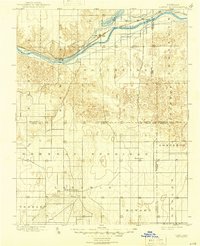
1900 Map of Lakin
USGS Topo · Published 1945About this map
The Arkansas River corridor dominates this high-plains landscape at the close of the 19th century, serving as the primary artery for settlement and transportation. Along its banks, the Atchison Topeka and Santa Fe River railroad line connects established outposts like Lakin, Hartland, and Deerfield. To the north, the massive Lake McKinney and the Eastern Canal indicate early irrigation efforts designed to harness the river's flow for agriculture.
Find a feature on this map
28 named features on this map. Tap any name to fly to it.
Don’t see what you’re looking for? This feature index may not catch every label — zoom into the map to look around manually.
Map Details
Editions of this 1900 Lakin Map
5 editions found
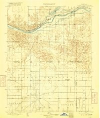
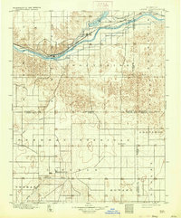

Other maps of this area

1891 · Larned
USGS Topo · 1:125,000

1896 · Garden
USGS Topo · 1:125,000

1900 · Syracuse
USGS Topo · 1:125,000

1900 · Lakin
USGS Topo · 1:125,000

1920 · Syracuse
USGS Topo · 1:125,000

1944 · Tennis
USGS Topo · 1:62,500

1944 · Moscow
USGS Topo · 1:62,500

1945 · Moscow
USGS Topo · 1:62,500

1955 · Dodge City
USGS Topo · 1:250,000

1955 · Scott City
USGS Topo · 1:250,000