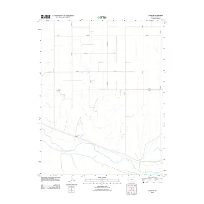
2012 Map of Lakin NW
USGS Topo · Published 2012About this map
The Arkansas River corridor dominates this high plains landscape of Kearny County, where the small settlement of Sutton sits near the river's northern bank. This 2012 survey documents a rural landscape defined by an extensive grid of section-line roads, including Co Road E and Co Road G, which facilitate agricultural access across the flat terrain. The intermittent drainage of Sand Cr carves a narrow path from the north toward the larger river valley, illustrating the local water-management patterns essential for this part of Kansas. While primarily rural, the map captures the intersection of major transit routes and the traditional river-oriented settlement patterns that have shaped the region since the late 19th century.
Find a feature on this map
14 named features on this map. Tap any name to fly to it.
Don’t see what you’re looking for? This feature index may not catch every label — zoom into the map to look around manually.
Map Details
Editions of this 2012 Lakin NW Map
This is the sole edition of this map. No revisions or reprints were ever made.
Other maps of this area

1891 · Larned
USGS Topo · 1:125,000

1900 · Syracuse
USGS Topo · 1:125,000

1900 · Lakin
USGS Topo · 1:125,000

1920 · Syracuse
USGS Topo · 1:125,000

1955 · Dodge City
USGS Topo · 1:250,000

1955 · Scott City
USGS Topo · 1:250,000

1958 · Dodge City
USGS Topo · 1:250,000

1958 · Scott City
USGS Topo · 1:250,000

1959 · Dodge City
USGS Topo · 1:250,000
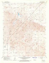
1966 · Lakin SE
USGS Topo · 1:24,000