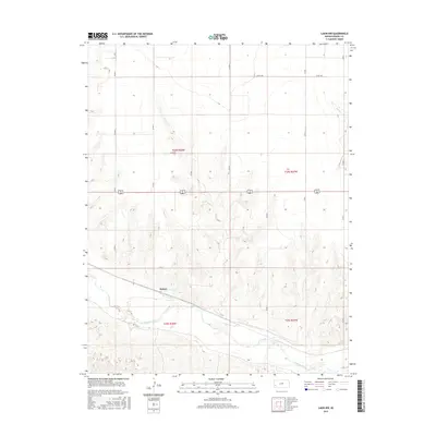
2015 Map of Lakin NW
USGS Topo · Published 2015About this map
The Arkansas River meanders across the southern portion of this landscape, its wide floodplain set against the higher, dry plains of western Kansas. Near the river, the small settlement of Sutton sits along a primary rail and transport corridor, representing the agricultural and transport-dependent nature of Kearny County. To the north, the terrain is defined by the intermittent drainage of Sand Cr, which cuts through the high plains. The landscape is heavily structured by the Public Land Survey System, with township and range lines like t24s r38w and t25s r37w creating a rigid grid of section roads, including Co RD D and Co RD 180. This intersection of natural watercourses and artificial boundaries illustrates the methodical development of the region's ranching and farming infrastructure.
Find a feature on this map
16 named features on this map. Tap any name to fly to it.
Don’t see what you’re looking for? This feature index may not catch every label — zoom into the map to look around manually.
Map Details
Editions of this 2015 Lakin NW Map
This is the sole edition of this map. No revisions or reprints were ever made.
Other maps of this area

1891 · Larned
USGS Topo · 1:125,000

1900 · Syracuse
USGS Topo · 1:125,000

1900 · Lakin
USGS Topo · 1:125,000

1920 · Syracuse
USGS Topo · 1:125,000

1955 · Dodge City
USGS Topo · 1:250,000

1955 · Scott City
USGS Topo · 1:250,000

1958 · Dodge City
USGS Topo · 1:250,000

1958 · Scott City
USGS Topo · 1:250,000

1959 · Dodge City
USGS Topo · 1:250,000
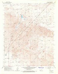
1966 · Lakin SE
USGS Topo · 1:24,000