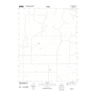
2010 Map of Lakin SW
USGS Topo · Published 2010About this map
Arkansas R crosses the northeast corner of this Kansas landscape, defining the local hydrology alongside the Southside Ditch and the intermittent flow of Bear Cr to the south. The terrain is characterized by a grid of agricultural section roads, including Co Rd 33 and Co Rd 35, which facilitate access across the expansive plains of Kearny County. Private aviation infrastructure is a notable feature of the local land use, represented by Morgan Farms Airport and Eveleigh Farms Airport. These small airfields, situated among the fields, underscore the scale of modern farming operations where aerial access is integrated into the rural economy.
Find a feature on this map
12 named features on this map. Tap any name to fly to it.
Don’t see what you’re looking for? This feature index may not catch every label — zoom into the map to look around manually.
Map Details
Editions of this 2010 Lakin SW Map
This is the sole edition of this map. No revisions or reprints were ever made.
Other maps of this area

1891 · Larned
USGS Topo · 1:125,000

1900 · Syracuse
USGS Topo · 1:125,000

1900 · Lakin
USGS Topo · 1:125,000

1920 · Syracuse
USGS Topo · 1:125,000

1955 · Dodge City
USGS Topo · 1:250,000

1958 · Dodge City
USGS Topo · 1:250,000

1959 · Dodge City
USGS Topo · 1:250,000

1959 · Ulysses NW
USGS Topo · 1:24,000

1959 · Big Bow NE
USGS Topo · 1:24,000

1959 · Ulysses NE
USGS Topo · 1:24,000