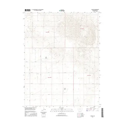
2015 Map of Lakin SW
USGS Topo · Published 2015About this map
Agricultural aviation and the rigid geometry of the Public Land Survey System define this landscape in western Kansas. The terrain is divided into precise sections, with private air strips like Morgan Farms Airport and Eveleigh Farms Airport serving as essential hubs for regional farming operations. These landing strips are situated among a network of county roads, including Co Rd 33 and Co Rd 34, which trace the section lines typical of the High Plains. The topographical data reveals a contrast between the flat, organized fields to the west and the more complex, undulating sand hills that begin to emerge in the eastern portions of t25s r37w and t26s r37w. This survey provides a clear view of the rural infrastructure supporting large-scale farming in Kearny County during the early 21st century.
Find a feature on this map
15 named features on this map. Tap any name to fly to it.
Don’t see what you’re looking for? This feature index may not catch every label — zoom into the map to look around manually.
Map Details
Editions of this 2015 Lakin SW Map
This is the sole edition of this map. No revisions or reprints were ever made.
Other maps of this area

1891 · Larned
USGS Topo · 1:125,000

1900 · Syracuse
USGS Topo · 1:125,000

1900 · Lakin
USGS Topo · 1:125,000

1920 · Syracuse
USGS Topo · 1:125,000

1955 · Dodge City
USGS Topo · 1:250,000

1958 · Dodge City
USGS Topo · 1:250,000

1959 · Dodge City
USGS Topo · 1:250,000

1959 · Ulysses NW
USGS Topo · 1:24,000

1959 · Big Bow NE
USGS Topo · 1:24,000

1959 · Ulysses NE
USGS Topo · 1:24,000