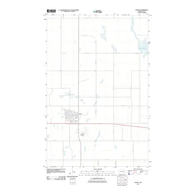
2011 Map of Lakota
USGS Topo · Published 2011About this map
Lakota serves as the focal point of this North Dakota landscape, organized along a traditional grid of lettered avenues like B Ave W and numbered streets. The town's layout reflects a central plains settlement pattern, anchored by the Lakota Municipal Airport to the south. Surrounding the residential and commercial blocks of the town center, the terrain is defined by an expansive section-line road network, including 49th St NE and 105 Ave NE, which partition the agricultural fields of Nelson County. Water features are scattered across the prairie, most notably at McHugh Slough in the northeast. This 2011 survey captures the area's transition between the established town site and the surrounding open plains, where local transit is facilitated by routes such as County Rd 8.
Find a feature on this map
47 named features on this map. Tap any name to fly to it.
Don’t see what you’re looking for? This feature index may not catch every label — zoom into the map to look around manually.
Map Details
Editions of this 2011 Lakota Map
This is the sole edition of this map. No revisions or reprints were ever made.
Other maps of this area

1930 · Pekin
USGS Topo · 1:62,500

1942 · McVille
USGS Topo · 1:62,500

1951 · Pekin NE
USGS Topo · 1:24,000

1951 · Pekin NW
USGS Topo · 1:24,000

1951 · Pekin
USGS Topo · 1:62,500

1952 · New Rockford
USGS Topo · 1:250,000

1953 · Devils Lake
USGS Topo · 1:250,000

1956 · New Rockford
USGS Topo · 1:250,000

1956 · Devils Lake
USGS Topo · 1:250,000

1970 · Lakota
USGS Topo · 1:24,000