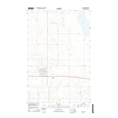
2014 Map of Lakota
USGS Topo · Published 2014About this map
Lakota serves as the central hub of this Nelson County landscape, where a precise grid of residential streets like S Main St and 6th St W meets the regional transport artery of Us-2. The town's organization is sharply defined against the surrounding agricultural section lines, which are traced by a network of rural roads including 49th St NE and 105th Ave NE. To the south, the Lakota Municipal Airport marks a significant local landmark, while the northeastern portion of the sheet is dominated by the sprawling waters of McHugh Slough. The intersection of ND-1 and highway US-2 provides a clear view of the area's modern infrastructure and its role as a crossroads in the Red River Valley region.
Find a feature on this map
37 named features on this map. Tap any name to fly to it.
Don’t see what you’re looking for? This feature index may not catch every label — zoom into the map to look around manually.
Map Details
Editions of this 2014 Lakota Map
This is the sole edition of this map. No revisions or reprints were ever made.
Other maps of this area

1930 · Pekin
USGS Topo · 1:62,500

1942 · McVille
USGS Topo · 1:62,500

1951 · Pekin NE
USGS Topo · 1:24,000

1951 · Pekin NW
USGS Topo · 1:24,000

1951 · Pekin
USGS Topo · 1:62,500

1952 · New Rockford
USGS Topo · 1:250,000

1953 · Devils Lake
USGS Topo · 1:250,000

1956 · New Rockford
USGS Topo · 1:250,000

1956 · Devils Lake
USGS Topo · 1:250,000

1970 · Lakota
USGS Topo · 1:24,000