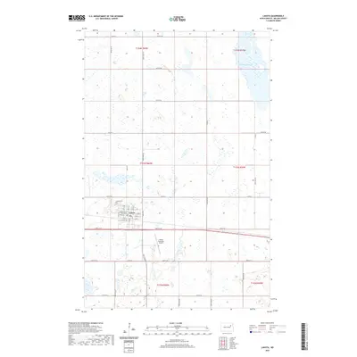
2020 Map of Lakota
USGS Topo · Published 2020About this map
Lakota serves as the focal point of this Nelson County landscape, structured around its historical role as a local government and transportation hub. The Nelson County Courthouse stands as a central landmark within the town's grid, flanked by the Lakota Cem to the northwest. The surrounding terrain is defined by the high density of prairie potholes and wetlands characteristic of the region, with McHugh Slough appearing in the northeast corner. This 2020 record illustrates the enduring township and range system, with roads like Co RD 6 and 43rd ST Ne following the section lines that have governed the area's development for over a century. Beyond the residential center, the Lakota Municipal Airport marks the transition into the agricultural expanses that dominate the landscape.
Find a feature on this map
30 named features on this map. Tap any name to fly to it.
Don’t see what you’re looking for? This feature index may not catch every label — zoom into the map to look around manually.
Map Details
Editions of this 2020 Lakota Map
This is the sole edition of this map. No revisions or reprints were ever made.
Other maps of this area

1930 · Pekin
USGS Topo · 1:62,500

1942 · McVille
USGS Topo · 1:62,500

1951 · Pekin NE
USGS Topo · 1:24,000

1951 · Pekin NW
USGS Topo · 1:24,000

1951 · Pekin
USGS Topo · 1:62,500

1952 · New Rockford
USGS Topo · 1:250,000

1953 · Devils Lake
USGS Topo · 1:250,000

1956 · New Rockford
USGS Topo · 1:250,000

1956 · Devils Lake
USGS Topo · 1:250,000

1970 · Lakota
USGS Topo · 1:24,000