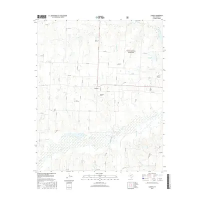
2016 Map of Lamasco
USGS Topo · Published 2016About this map
Caddo National Grassland dominates the northern and eastern portions of this Fannin County landscape, where the terrain is defined by the branching tributaries of Coffee Mill Creek and Bois d'Arc Creek. The settlement of Lamasco serves as a central hub, situated near Stillhouse Hollow and the intersection of several county roads. The map reveals a dense concentration of family and community burial sites, which are vital for genealogical research in this rural Texas region. Sites such as the Smith Family Cem, Pilgrims Rest Cem, and Center Grove Cem are scattered across the creek-fed lowlands. To the east, Lake Quail Haven and Coffee Mill Lake provide significant water features amidst the wooded grasslands, while the small settlement of Carson sits along the eastern boundary near the intersection of several local routes.
Find a feature on this map
69 named features on this map. Tap any name to fly to it.
Don’t see what you’re looking for? This feature index may not catch every label — zoom into the map to look around manually.
Map Details
Editions of this 2016 Lamasco Map
This is the sole edition of this map. No revisions or reprints were ever made.
Other maps of this area

1903 · Paris
USGS Topo · 1:125,000

1947 · Honey Grove
USGS Topo · 1:62,500

1948 · Direct
USGS Topo · 1:62,500

1949 · Direct
USGS Topo · 1:62,500

1949 · Honey Grove
USGS Topo · 1:62,500

1953 · Texarkana
USGS Topo · 1:250,000

1954 · Sherman
USGS Topo · 1:250,000

1956 · Texarkana
USGS Topo · 1:250,000

1957 · Wade
USGS Topo · 1:62,500

1958 · Bonham
USGS Topo · 1:62,500