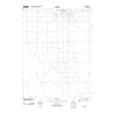
2010 Map of Lamb
USGS Topo · Published 2010About this map
Fort Morgan serves as the primary hub at the northern edge of this agricultural landscape, where the southern reaches of the city meet the industrial infrastructure of the Fort Morgan Oil Field. The terrain is defined by a sophisticated water management system designed for high-plains farming, notably the Fort Morgan Canal and Bijou Canal which cut across the grid of county roads. Smaller settlements like Lamb and Moseley are situated along the northern corridor, connected by E Railroad Ave and County Road R. The natural path of Badger Creek meanders through the eastern half of the area, providing a distinct contrast to the rigid geometry of the surrounding section lines and irrigation ditches. This survey captures a moment in the 21st century where traditional ranching and farming operations coexist with active petroleum extraction and the expanding outskirts of the regional trade center.
Find a feature on this map
30 named features on this map. Tap any name to fly to it.
Don’t see what you’re looking for? This feature index may not catch every label — zoom into the map to look around manually.
Map Details
Editions of this 2010 Lamb Map
This is the sole edition of this map. No revisions or reprints were ever made.
Other maps of this area

1951 · Weldona
USGS Topo · 1:24,000

1951 · Brush West
USGS Topo · 1:24,000

1951 · Fort Morgan
USGS Topo · 1:24,000

1954 · Sterling
USGS Topo · 1:250,000

1958 · Sterling
USGS Topo · 1:250,000

1963 · Lamb
USGS Topo · 1:24,000

1963 · Round Top
USGS Topo · 1:24,000

1963 · Vallery
USGS Topo · 1:24,000

1963 · Adena
USGS Topo · 1:24,000

1965 · Vallery SE
USGS Topo · 1:24,000