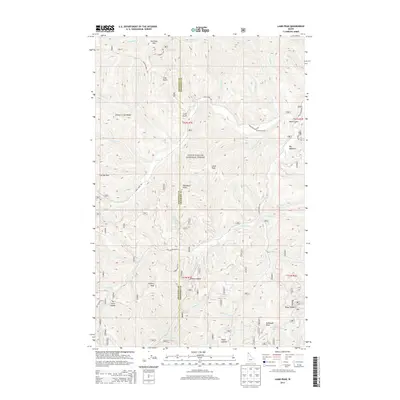
2013 Map of Lamb Peak
USGS Topo · Published 2013About this map
Coeur D'Alene National Forest defines this high-elevation landscape along the boundary of Kootenai and Shoshone counties. The terrain is characterized by a dense network of watercourses and prominent summits, including Lamb Peak, Leiberg Peak, and McDonald Peak. The map reveals the intricate drainage patterns of Tepee Creek, Big Elk Creek, and Stewart Creek, which carve deep through the forest. Human presence is concentrated around the Erickson Ranch and the Magee Airport, located in the northeast near Blackie Creek. This 2013 survey provides a clear view of the logging and access roads that traverse the peaks, such as the Leiberg Ridge Rd and Trail Creek Rd, which connect remote saddles like Leiberg Saddle and Tie Lavin Saddle. The mapping of small features like Big Meadows and various unnamed peaks illustrates the detailed management of this national forest area.
Find a feature on this map
64 named features on this map. Tap any name to fly to it.
Don’t see what you’re looking for? This feature index may not catch every label — zoom into the map to look around manually.
Map Details
Editions of this 2013 Lamb Peak Map
This is the sole edition of this map. No revisions or reprints were ever made.
Other maps of this area

1909 · Cataldo
USGS Topo · 1:125,000

1911 · Cataldo
USGS Topo · 1:125,000

1955 · Spokane
USGS Topo · 1:250,000

1957 · Kingston
USGS Topo · 1:62,500

1957 · Kellogg
USGS Topo · 1:62,500

1958 · Spokane
USGS Topo · 1:250,000
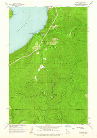
1961 · Lakeview
USGS Topo · 1:24,000

1961 · Lakeview
USGS Topo · 1:62,500
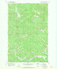
1966 · Cathedral Peak
USGS Topo · 1:24,000
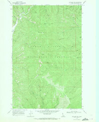
1966 · Spyglass Peak
USGS Topo · 1:24,000